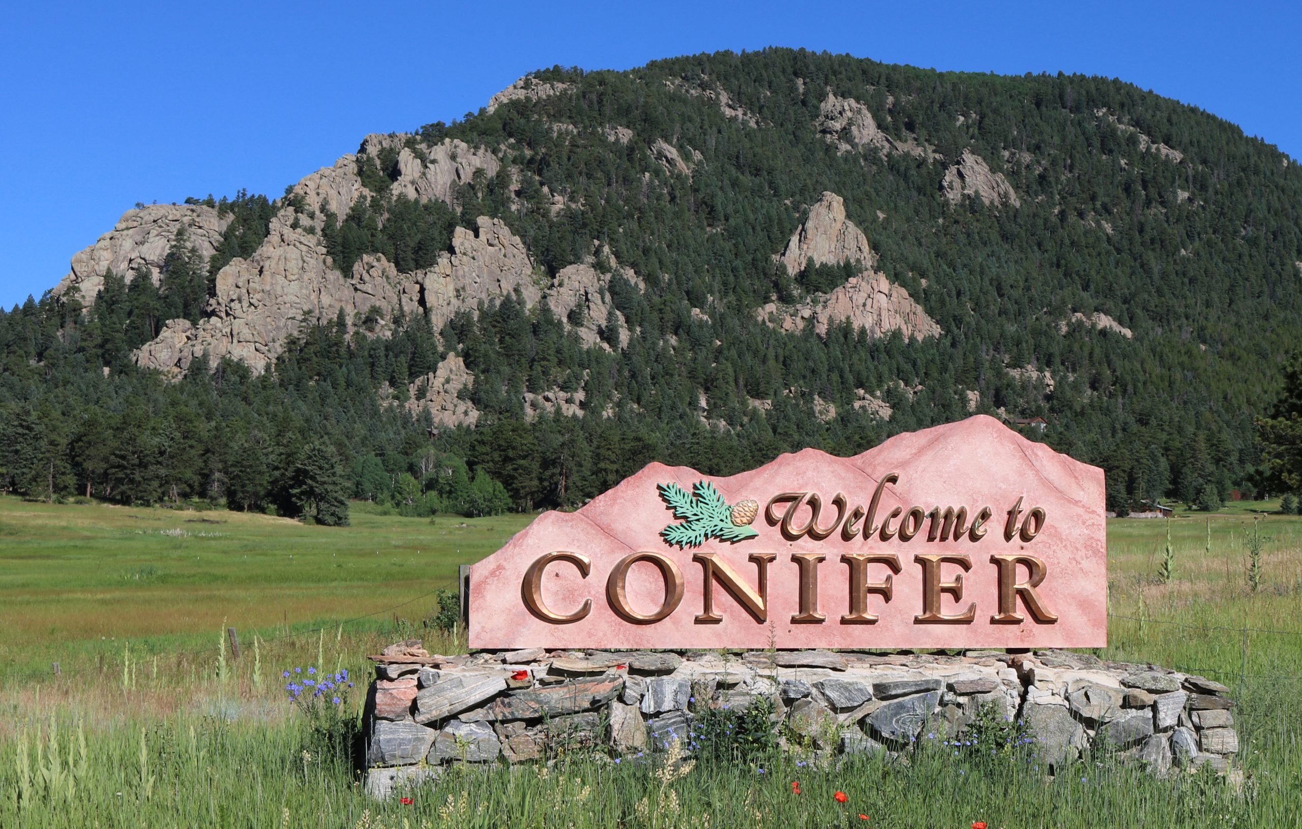
 Photo: Jeffrey Beall, CC BY 4.0
- County
- Jefferson (unincorporated)
- Elevation
- 8,262 ft
- Population
- About 8,200 (80433)
- Downtown Denver
- About 30 mi · about 45 min
- Nearest ski area
- Loveland · about 1 hr 15 min
- Schools
- Jefferson County Public Schools
Drive times are typical and change with traffic and weather.
Living in Conifer
What it's like to live in Conifer
Conifer sits along US 285 in the foothills southwest of Denver. People settled here in the 1860s, and the community grew around a toll road that ended at Bradford Junction. Today it is an unincorporated part of Jefferson County with no town government, and most daily errands happen along the 285 corridor.
At more than 8,000 feet, the seasons are real: warm summer days, cool nights, and about 63 inches of snow in an average winter. Open space is close by. Staunton State Park is about six miles west, and Jeffco Open Space parks like Meyer Ranch and Reynolds sit near town.
Conifer suits people who want mountain quiet and room around the house but still need a workable drive into the south and west metro. The commute runs on US 285, so plan around winter weather and peak traffic.
Where it is
Where Conifer sits on the Front Range
Hover a pin for a quick look. Click to open that town's guide.
Neighborhoods
Where to look in Conifer
Aspen Park
The eastern edge of Conifer along US 285 at about 8,100 feet, still using Conifer addresses.
Pleasant Park
The area along Pleasant Park Road north of US 285, named for the historic 1894 Pleasant Park School.
Bradford Junction
The historic end of the old toll road, where the 1918 Yellow Barn still stands.
Shaffers Crossing and Elk Creek
The US 285 crossing about six miles west where Elk Creek Road turns north toward Staunton State Park.
Pine Junction
A small community at about 8,450 feet on the Jefferson and Park county line.
Get outside
Things to do in Conifer
- 01
Staunton State Park
Nearly 4,000 acres with about 37 miles of trails, meadows, and granite cliffs above 10,000 feet.
- 02
Meyer Ranch Park
A 667-acre Jeffco Open Space park on US 285 with 4 miles of trails, popular for cross-country skiing.
- 03
Reynolds Park
Home of the 10-mile North Fork Trail, which connects to the Colorado Trail at the South Platte River.
- 04
Flying J Ranch Park
A three-mile loop through old-growth forest and a favorite snowshoe spot.
- 05
Beaver Ranch
Two disc golf courses with 41 holes between them, plus hiking and camping.
- 06
Conifer Junction Schoolhouse
A historic schoolhouse on the National Register.
Know about Conifer homes before everyone else does.
Listing alerts for Conifer and nearby foothill towns. Free, and you can stop anytime.
Latest from Conifer
Articles
FAQ
Conifer questions, answered
How far is Conifer from downtown Denver?
About 30 to 35 miles on US 285, usually about 45 minutes. Peak traffic and snow can add a lot more.
What county is Conifer in?
Jefferson County. Conifer is unincorporated, so the county handles zoning, roads, and the sheriff.
What is the elevation of Conifer?
About 8,262 feet, with colder winters and about 63 inches of snow in an average year.
Which school district serves Conifer?
Jefferson County Public Schools, including Conifer High School and West Jefferson Middle School.
Do Conifer homes have wells and septic?
Many mountain properties use a private well and septic, so confirm what a home has. Jefferson County also offers free home wildfire assessments.
How far is Conifer from the ski areas?
Loveland Ski Area is about 55 miles away by way of Evergreen and I-70, about an hour and 15 minutes in good conditions.
Nearby